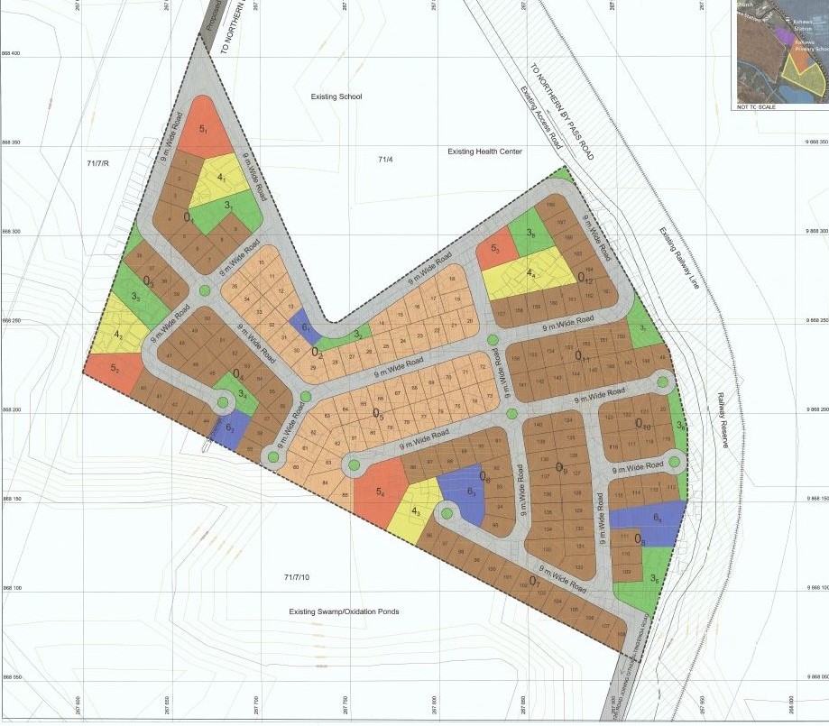
Geomatics Technics have got capacity and expertise in organizing the physical infrastructure and its functions for ensuring an optimal spatial coordination and distribution of different land uses
for enhancement of the quality of urban life.
Physical planning is a function and a main element under any land tenure system that enables governments, communities and individuals to determine in advance the direction and rate of all land sector activities.
At the heart of effective physical planning lies the expertise of land surveyors and GIS experts who play a critical role in assessing, mapping, and providing accurate information about the land, which serves as the foundation for informed decision-making and responsible development.
Our physical planning services include:
❖ Change of user
❖ Extension of user
❖ Extension of lease
❖ Sub-division schemes plans
❖ Site analysis plans
❖ Advisory planning
❖ Planning of informal settlement
❖ Community-based planning
❖ Advisory on the optimal use of land