We develop high-precision map data combined with infrastructural details, spatial features, and visualization.
We develop high-precision map data combined with infrastructural details, spatial features, and visualization.
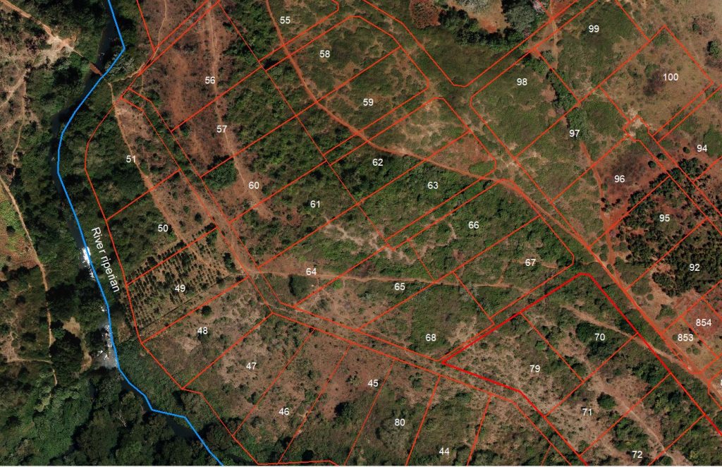
Our data are designed for easy integration with either existing conventional or business systems, and contains all the spatial information for quick planning and decision-making.
Our GIS products include street maps, urban maps, transport maps, DTM, tourist maps and business enterprise solution tailored to meet the ever-increasing demands for innovative and cost-effective geo-information solutions.
The combination of geospatial data management, GIS consultancy experience and managed services capability, with systems integration and, ensures we can meet all your needs from imagery, mapping to aid decision making or an application specific solution.
Some of the applications of GIS are:
- Mapping of irrigation system and formation of inventory database system.
- Mapping for planning and monitoring of urban growth.
- Mapping of road inventory system.