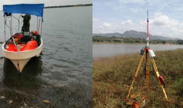
Hydrographical surveys (bathymetric surveys) are an extension of our surveying service, providing an accurate and detailed plan of all features below the water’s surface. A hydrographical survey calculates the depth of the water body and measures the ground below the water. A Digital Terrain Model (DTM) can then be created detailing the contours of the land below the water. It is suitable for lakes, rivers, harbor’s, reservoirs and water treatment plants.