ABOUT US
We are a licensed surveying and mapping company based in Kenya, offering reliable geospatial solutions that support sustainable development across society, the economy, and the environment. With advanced equipment and a commitment to excellence, we deliver high-quality geospatial expertise across Kenya and the East African region.
Our surveys are conducted with professionalism, accuracy, and legal compliance. We collaborate closely with clients, overseeing each project from concept to completion, ensuring success every step of the way.
Since 2012, we’ve served a diverse range of clients—from government agencies to developers, architects, and planners. Our personalized, results-driven approach has earned us a reputation for excellence.
Our Vision
To be the best provider of accurate and up-to-date spatial data for land surveying, engineering, and planning purposes.
Our Mission
Provide accurate and high-quality surveying and mapping services by employing advanced geospatial technologies and a skilled team able to meet client needs.
Our Philosophy
Our philosophy is grounded in the virtues of teamwork, competency, honesty, and quality— both within our team and in every client interaction.
Our Core Values
- Integrity: We act with honesty and responsibility.
- Innovation: Embracing modern tech and methods.
- Customer-Centric: Clients are our compass.
- Excellence: We aim for the highest quality.
- Frugality: Smart, efficient use of resources.
- Equity & Inclusiveness: Respect and dignity for all.
Our Work Attributes
At the foundation of our company’s values is our strong dedication to provide quality professional services. We are attentive to each and every project requirement. Our survey and mapping procedures, remote sensing LiDAR technology, utility mapping methodologies, and internal review standards are proven to ensure quality from project onset to completion. We conduct our assignment with the following attributes:
- Speed: Our highly collaborative network of experts enables us to move quickly without sacrificing quality.
- Reliability: We’ve built our reputation as a company clients trust by giving our best to every project, every time.
- Quality: A commitment to quality underscores everything we do.
- Consistency: Maintaining consistency in everything we do ensures regional differences don’t negatively impact the quality of your project.
Our Clients
We serve a diverse range of clients including commercial construction firms, property consultants, architects, developers, planners, and legal professionals.
Areas We Service
While we operate across Africa, our expertise and focus are in Eastern Africa—bringing local knowledge and cultural understanding to every project.
Safety is Our Priority
Safety is paramount due to the inherent risks associated with working in diverse and sometimes hazardous environments. We take great pride in our company’s safety culture, reflected in our overall statistical successes.
Our key points on safety include:
- Train surveyors on the safe operation and maintenance of all equipment.
- Require all field crews to complete first aid and CPR training.
- Implement robust traffic control measures to protect surveyors on roads.
- Ensure a drug-free workplace that fosters a safer environment.
- Maintain clear communication between surveyors, equipment operators, and supervisors for safety.
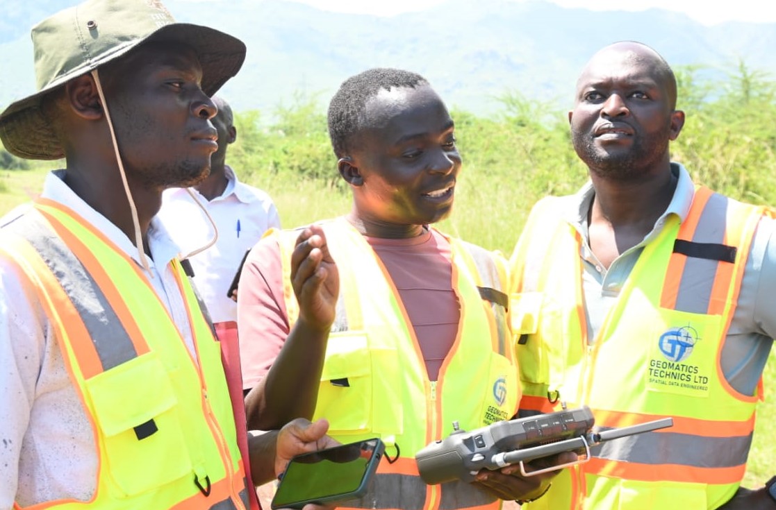
Our Team
If you're planning a project, we have the expertise to bring it to life.
Geomatics Technics was founded with a clear purpose to deliver agile, client-focused surveying and mapping services tailored to individual project needs. A decade later, that vision lives on through our knowledgeable, approachable, and dedicated team.
At the helm is our Licensed Surveyor and Managing Director, Mr. Nyonje, who leads a team of nine. This includes two senior surveyors, two surveyors, and two survey assistants. They are further supported by two skilled survey draftspersons, a subdivisions consultant and coordinator, along with our experienced management and administrative staff.
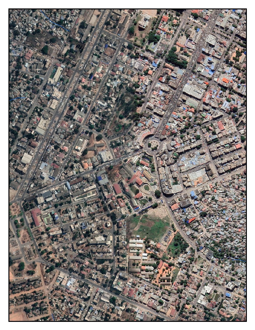
Our team is expertise in new technologies include Mobile LiDAR, UAV (Drone) LiDAR, RTK/PPK Drone photogrammetry, DGPS, Electronic Total Station and Auto Level. We deliver Geo-referenced Ortho-mosaic images, Accurate and dense point cloud data, Survey Project Reports, AutoCAD Baseplan contains topographic features, Boundary drawings, contour drawings, and railway final location survey.
At the heart of everything we do is a shared commitment—to achieve exceptional results for our clients. We ensure that every project progresses seamlessly from concept to completion. We take great pride in our work and genuinely enjoy what we do—and we believe that passion is reflected in both our client relationships and the quality of our outcomes.
Our entire team shares a unified goal: delivering outstanding results for our clients.