
Expert in Geospatial and Mapping Services.
GEOMATICS TECHNICS LIMITED
We are a licensed surveying and mapping company based in Kenya, providing dependable geospatial solutions that drive sustainable development across the environment, economy, and society.
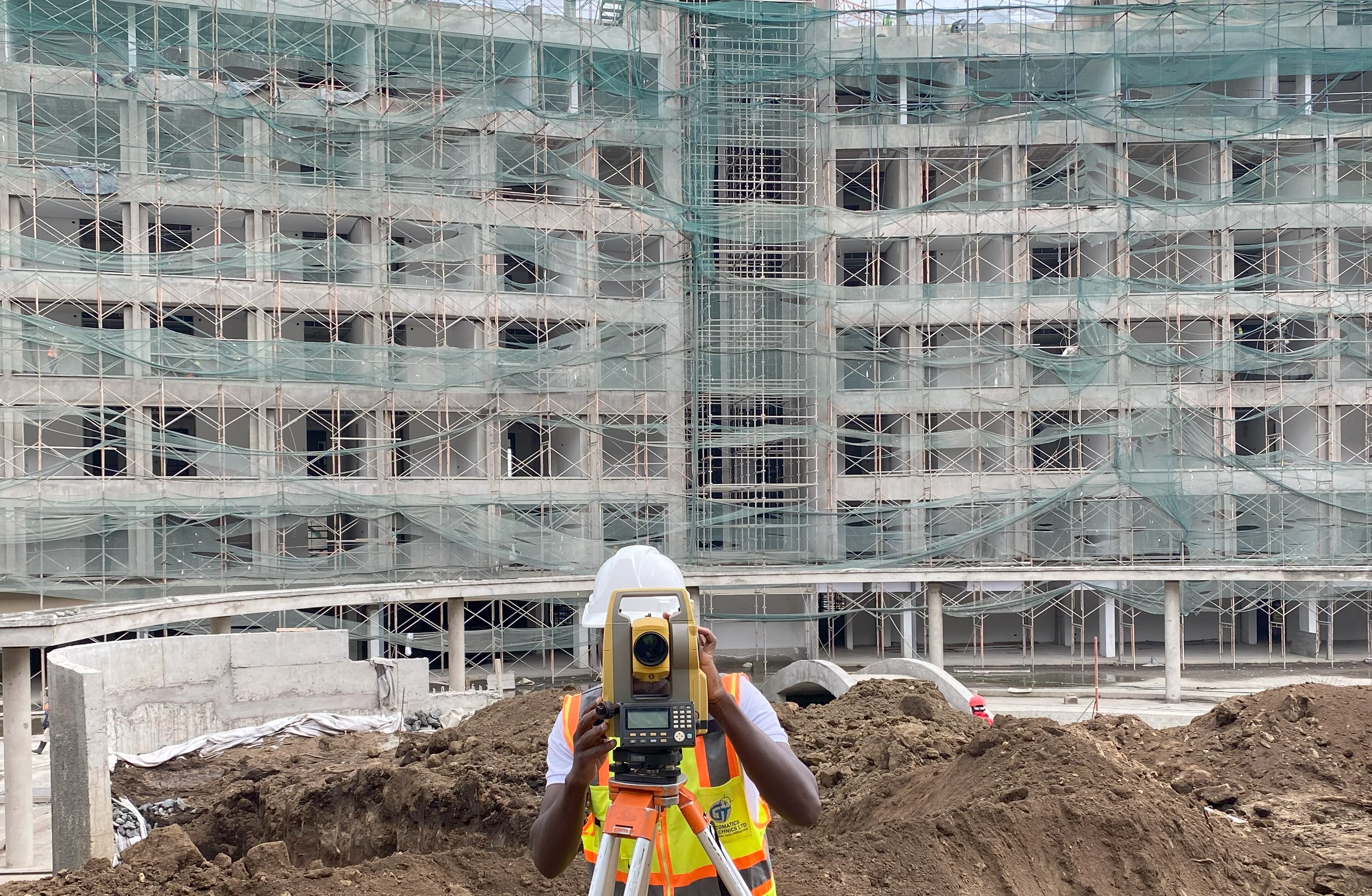
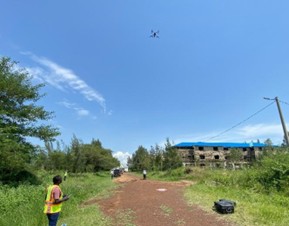
Equipped with advanced tools and guided by a passion for precision, we offer services ranging from land and engineering surveying to aerial mapping, UAV LiDAR, hydrographic surveying, and urban planning.
Our approach is professional and collaborative — we partner with clients from concept to completion, ensuring accuracy, legal compliance, and success at every phase of the project.
Since 2012, we’ve worked with a broad range of clients, including government bodies, developers, engineers, architects, and planners — earning a reputation for trust, innovation, and personalized excellence.
OUR SERVICES
We offer a comprehensive range of surveying and Mapping services tailored to meet the diverse needs of our clients. Our experienced team utilizes cutting-edge technology and industry-leading techniques to deliver precise and reliable results for every project.
RECENT PROJECTS
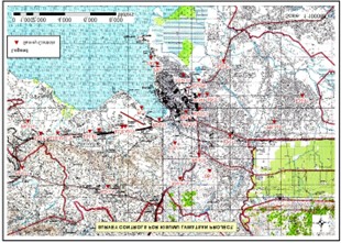
Topographical surveying for Master plan of the Great Lakes University of Kisumu, Kenya.
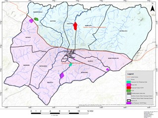
Mapping for the Feasibility Assessment and City-Wide Inclusive Sanitation Plan for Nampula City in Mozambique.
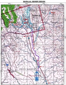
Detailed Topographical surveying for the design of Maralal Town Sewerage System.
Surveying & mapping for Water Resources and Wastewater Master plan in Kisumu County under LVWATSAN Program.
Cadastral Surveying for Excision of land for Standard Gauge Railway Station from LR No. 1956/506 located in Voi, Taita Taveta county.
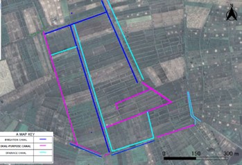
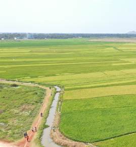
Surveying for Creation Of 1/1000 Digital Current Condition Map for Farm Land Consolidation Planning for Mwea Irrigation Scheme.